If you're looking for reliable land surveying services across the Northern Rivers region of NSW, Elevation Survey is here to help.
Request A QuoteBased in Lennox Head, we survey homes, vacant blocks and development sites across Northern NSW. Most of our work helps people design, approve and build: contour and detail surveys for architects and designers, boundary surveys for building and development, AHD levels for flood and height controls, construction set-out, subdivision with civil design, and 3D laser scanning of existing buildings.
If this is something you need help with, contact us today to see how we can assist you.
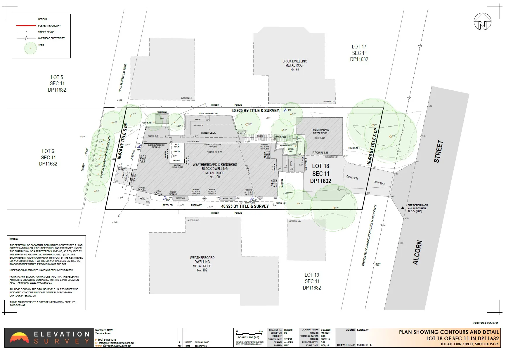
We offer a comprehensive range of surveying services including boundary surveys to support every stage of your project, whether that be for developing a residential site, expanding a business, or working on large-scale construction.
They include the following:
Essential for the planning and design stage, our contour and detail surveys map natural and built features of your land. By providing them with clear, detailed site data, we help architects, builders, and homeowners make more accurate design and development decisions.
Often required for legal and council purposes, this survey identifies property boundaries and encroachments. Prepared and signed by one of our registered land surveyors, it supports sales, development approvals and building work.
This type of survey determines levels relative to the Australian Height Datum and is crucial for flood risk assessments and elevation-based planning.
For large or hard-to-reach sites, our aerial surveys use drone technology to quickly and safely capture detailed imagery and measurements at scale.
We use advanced laser scan equipment to create highly accurate 3D models for complex construction and renovation projects.
Our commercial surveying services support business projects, ranging from retail developments to large infrastructure, across Lennox Head and the wider Northern Rivers region.
We deliver high-quality 3D land surveying results for home and commercial projects across Lennox Head and the Northern Rivers region of NSW. Here’s how our process works:
We start by discussing your project goals, site requirements, and timelines. Our team will then provide you with tailored advice on the best surveying approach for your needs.
Before heading to the site, we will conduct a thorough review of relevant property data, planning controls, and previous reports. This helps to ensure we’re fully prepared to perform a survey.
We use the method that suits the job: GNSS and total station for levels and boundaries, drone mapping for larger sites, and laser scanning where existing buildings need to be modelled.
Back in the office, we convert the raw data into accurate 3D models and BIM-ready files that can be used in your construction planning.
We will conduct a strict internal review process of the survey to make sure it meets NSW regulations, council standards, and industry best practices.
Once completed, you’ll receive a detailed report of our findings. Our team will also be available for questions, updates, and any future surveying assistance you may require.
We are strongly committed to providing local residents, developers, and companies with a service that delivers outstanding value and results. Here is why you should choose our service.
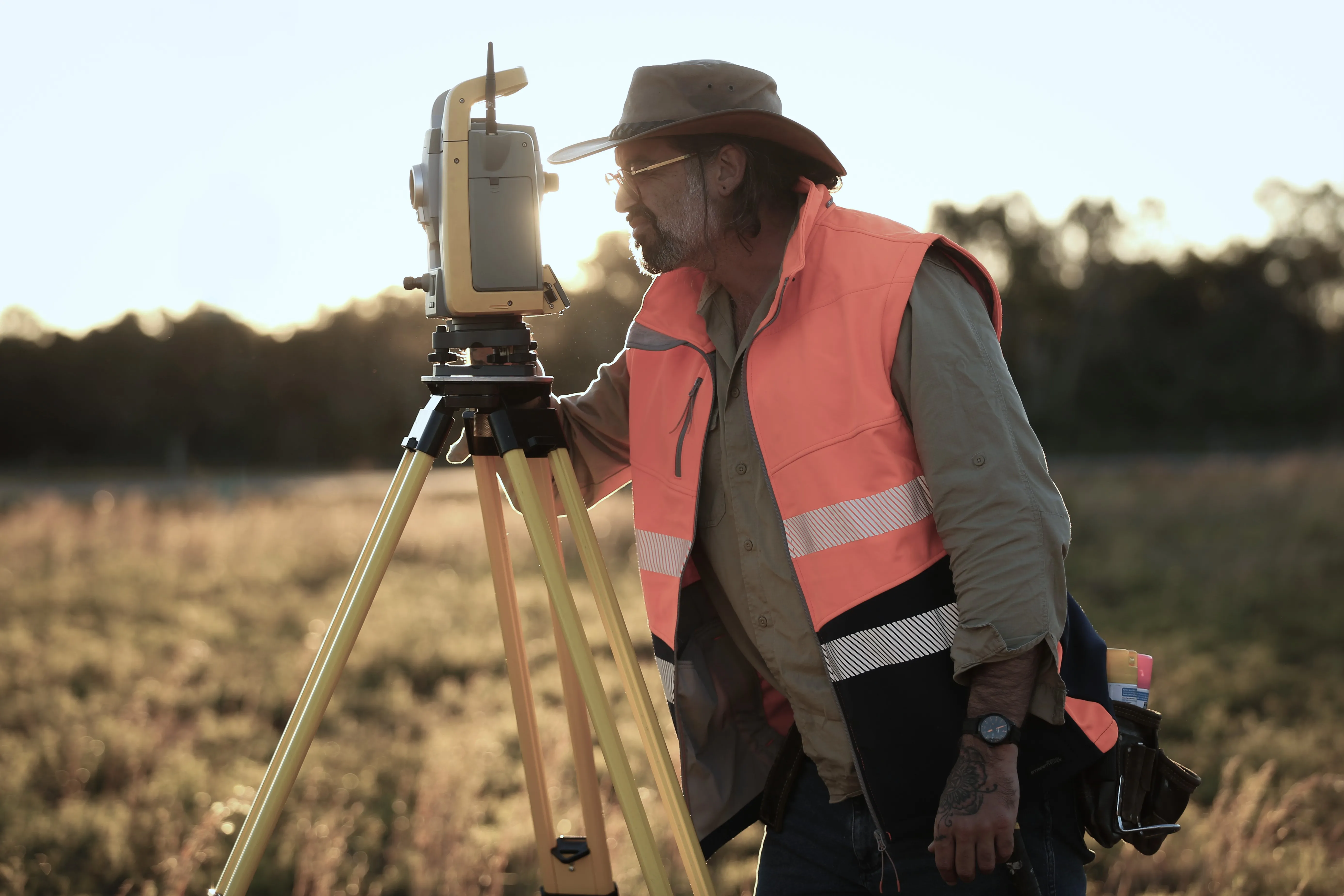


You'll usually need a survey before designing or building, lodging a DA or CDC, subdividing, or buying a property where the boundaries or improvements are uncertain.
We offer competitive pricing, but the costs will vary depending on the size, access, and type of survey you require. If you contact our team, they will happily provide you with a quote.
Contour and detail surveys, boundary and identification surveys, AHD levels and height checks, construction set-out, as-built and WAE surveys, subdivision with civil engineering design, drone mapping, and 3D laser scanning with Revit models.
Most surveys are delivered within 10 working days of the site visit. Larger or more complex jobs can take longer, and we'll confirm timing when we quote.
Boundary, identification and subdivision surveys are carried out by our registered land surveyors, as NSW law requires.
Ready to move forward with your project? Contact our team today to get a quote fast! Whether you're a homeowner building your dream home, a developer elevating a community, or a government agency, our experienced surveyors are here to assist you with all your surveying needs.
.webp)


